75mph gusts hit Scotland ahead of peak
Storm Boelo brings 60 to 80mph winds to the north, canceling events and flights.
By Maya Sokolov ·
Winds reached 75 miles per hour in the Western Isles of Scotland before the full force of Storm Boelo arrived. The gusts were measured at the South Uist Range, the Highland region, and Eilean Siar. These readings occurred before the Met Office’s amber warnings took full effect on Saturday evening.
The amber warnings, which are the second most severe level of alert, covered mainland Scotland and northern England down to Carlisle. They were active from 9pm on Saturday until the same time on Sunday. A separate amber warning applied to the north-east of Northern Ireland from 9pm Saturday until 10am Sunday. Yellow wind warnings surrounded these zones, extending into parts of England and North Wales.
Forecasters expect widespread gusts between 60 and 70 miles per hour. Exposed coastal locations may see speeds reach 80 miles per hour. The Met Office indicated that the worst winds would peak from Saturday night onward. The storm is the second named system of the season, following Storm Austen on Friday.
Storm Austen brought strong winds to parts of the UK earlier in the week. Gusts of 76 miles per hour were recorded at St Mary’s airport in the Isles of Scilly. Other readings included 74 miles per hour at Aberporth in south-west Wales and 71 miles per hour at Culdrose in Cornwall. Hundreds of homes in south-west England lost power after that storm. The National Grid reported that power was restored to over 131,000 properties by 7pm on Saturday.
Rainfall has been substantial since 8am on Saturday. White Barrow in Wiltshire recorded 72mm of rain. Cwm Dyli in North Wales and Inveruglas on the west shore of Loch Lomond in Scotland both recorded 43mm. The Environment Agency issued 58 alerts for areas across England where flooding was possible by 8pm Saturday. Twelve additional warnings indicated that flooding was expected in specific locations.
Jason Kelly, the Met Office chief forecaster, stated that the storm would be felt across the UK. He noted that the strongest winds and greatest potential for disruption would occur in the north. Kelly advised people to stay indoors as much as possible to avoid dangers from flying debris and crashing waves. He urged the public to secure loose items outside, plan ahead for travel, and monitor the latest forecasts.
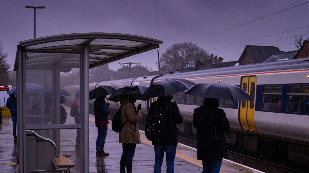
Transport and leisure activities have already been disrupted. At Dublin airport, weather issues led airlines to cancel nine outbound and ten inbound flights as of 4pm on Saturday. Six inbound flights performed go-arounds. Five landed on the second attempt, while one diverted to another airport before returning. Network Rail shared images of a trampoline and a shed near the tracks, prompting a call for residents to secure garden furniture firmly.
Several public events were cancelled in response to the weather. Visit Liverpool announced that the region’s River of Light event, which features illuminated artwork, had been cancelled for safety reasons. In London, the annual Diwali on the Square celebrations scheduled for Sunday were called off following recommendations from independent health and safety experts. Edinburgh Castle and the Fountains Abbey estate in North Yorkshire also closed on Sunday. Fountains Abbey had planned to host its Fountains by Floodlight event.
Source: The Guardian